Paul’s Perspective:
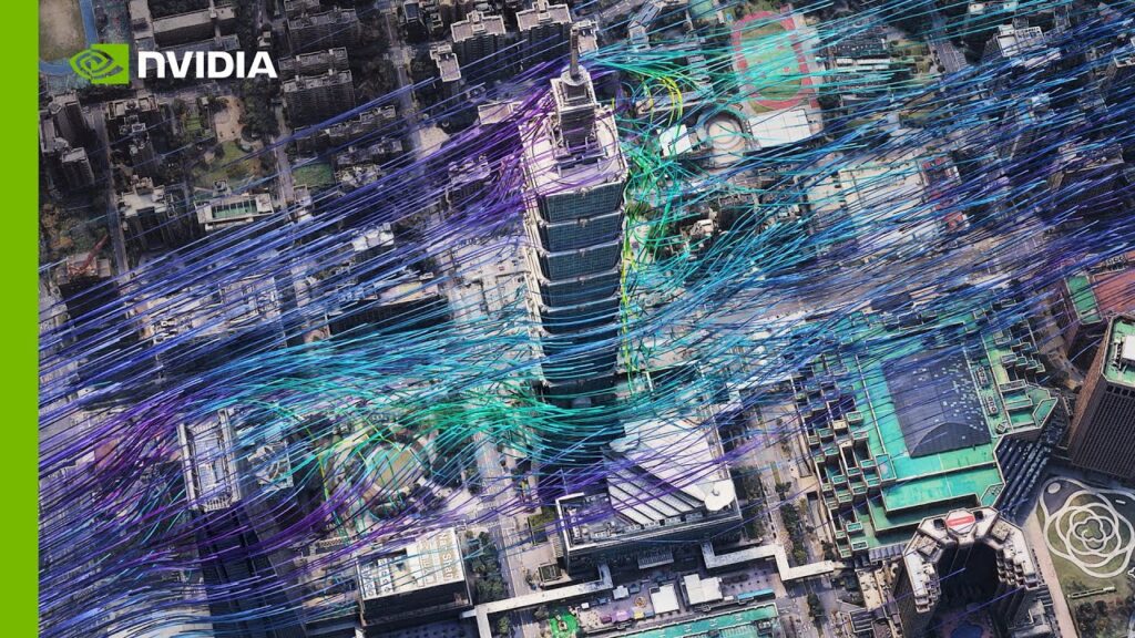
Understanding hyper-local urban conditions is crucial for informed decision-making in areas like weather forecasting, urban planning, and environmental monitoring. Investing in this technology could significantly enhance operational efficiency and strategic planning.
Key Points in Video:
- Combines high-resolution data from ICON, WRF, and PALM models.
- Utilizes Google Photoreal Tiles served by Cesium for detailed visualization.
Strategic Actions:
- Integrate high-resolution simulation data.
- Utilize AI for data processing and visualization.
- Leverage Google Photoreal Tiles with Cesium for detailed mapping.
The Bottom Line:
- Earth-2’s platform now includes hyper-local data for urban environments.
- This advancement leverages high-resolution simulations and Google Photoreal Tiles.
Dive deeper > Source Video:
Ready to Explore More?
Our team collaborates to enhance your business with advanced data visualization and simulation insights. Let’s discuss how we can help you make better-informed decisions.


